


Garmin GPSMAP 65s, Button-Operated Handheld with Altimeter and Compass, Expanded Satellite Support and Multi-Band Technology, 2.6" Color Display : Everything Else
- Category: Handheld GPS Units
- Store: Garmin
Share on:
Description
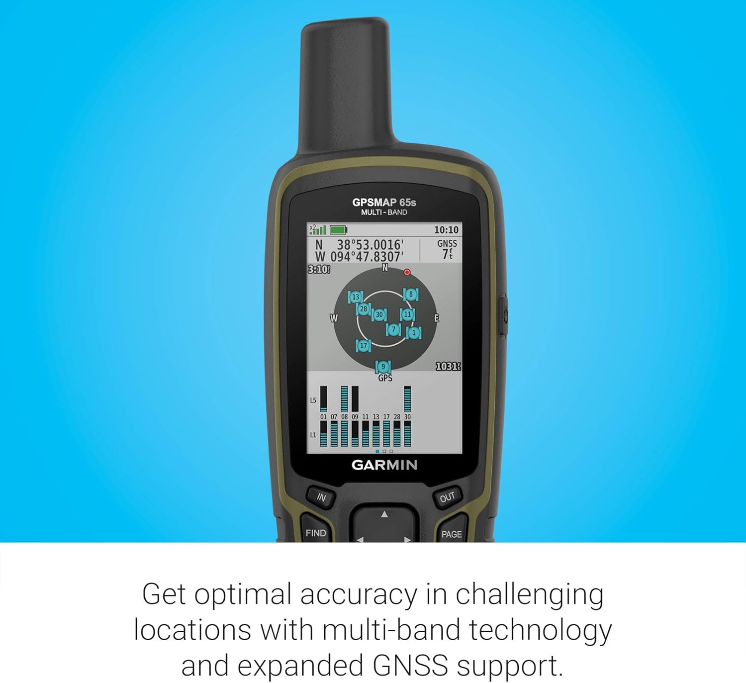
Multi-Band/Multi-GNSS Handheld with Sensors Multi-band technology and expanded GNSS support (GPS, GLONASS, Galileo, QZSS and IRNSS) provide optimal accuracy in steep country, urban canyons and forests with dense trees. Navigate every trail with ABC sensors, including an altimeter for elevation data, barometer to monitor weather and 3-axis electronic compass. Preloaded TopoActive U.S. and Canada maps show you terrain contours, topographic elevations, summits, parks, coastlines, rivers, lakes and geographical points. An optional display of federal public land boundaries on topographical maps helps you know that you’re venturing where you’re supposed to be. Receive emails, texts and alerts right on your handheld when paired with your compatible smartphone. Plan, review and sync waypoints, routes and tracks by using the Garmin Explore website or app on your compatible smartphone. You can even review completed activities while still in the field. Find your way in this big, wide world with GPSMAP® 65s. This rugged handheld offers multi-band technology and expanded GNSS support for optimal accuracy in steep country, urban canyons and forests with dense trees. It has a 2.6” color display, button-operated design, routable TopoActive mapping and ABC (altimeter, barometer and compass) sensors. Wireless connectivity through BLUETOOTH® and ANT+® technologies provides compatibility with the Garmin Explore™ website and app (compatible smartphone required) to help you manage tracks, routes and waypoints and review statistics from the field. To calculate the overall star rating and percentage breakdown by star, we don’t use a simple average. Instead, our system considers things like how recent a review is and if the reviewer bought the item on Amazon. It also analyzed reviews to verify trustworthiness.
Product Overview
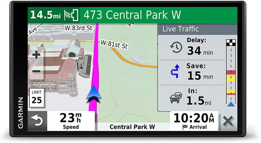
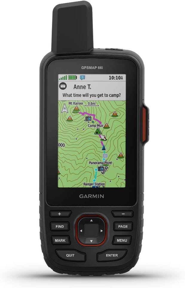
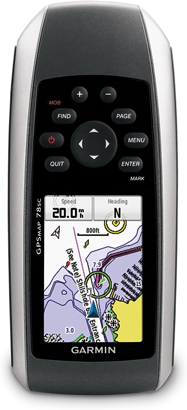
We Recommend